PREVIOUS
5G Multicast-broadcast for Group Communication: Why it Matters and How it Works


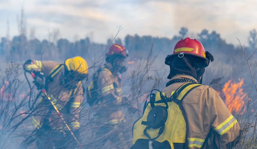
According to the National Fire Protection Association, 70 firefighters died in the line of duty in 2021, with the largest share of those deaths occurring because of cardiac arrests during high stress events. Every loss is a tragedy for the affected families, colleagues, and communities. Every loss is a call to improve the tools, policies, and procedures implemented for use in life-threatening situations.
Mission critical voice enables first responders to be heard no matter where they are. But what about responders who are unable to reach their radios because they’re tending to a victim or colleague? Or what if they’re incapacitated? Sadly, there are many nightmarish situations where a first responder simply cannot speak. So, while being heard is obviously critical to the success and safety of first responders and those they serve, these scenarios highlight how being seen can be just as important.
Knowing the locations of deployed first responders allows dispatchers to make well-informed decisions based upon specific details, such as a responder’s proximity to their colleagues, victims, and hazards – all of which can contribute to their levels of physical and mental stress. Decisions like prioritizing the evacuation of a firefighter that’s known to be inside a burning building, but whose location hasn’t changed in a period time, can save lives and prevent further tragedy.
The Dingell Act, signed into law in March 2019, covers a wide range of subjects related to the management of U.S. natural resources. The bill incorporates over 100 different pieces of legislation, one of which is a requirement for wildland firefighting agencies to operate a tracking system that remotely locates the positions of fire resources. Since then, numerous pilot projects have been undertaken to design, deploy, and test various wireless location tracking solutions.
Although the bill refers to firefighters specifically, it’s easy to scale these requirements to other agencies, such as law enforcement, emergency services, and search and rescue. It’s especially important for inter-agency responses to large-scale events and disasters.
The Dingell Act Resource Tracking (DART) system identified numerous requirements for an effective communications solution that enables location tracking over traditional land mobile radio (LMR) bearers.
As with many P25 systems, interoperability is an important concern that impacts the choice of subscribers, infrastructure, and a computer aided dispatch (CAD) solution. The entire solution, from responder to dispatcher, must be fully interoperable to maintain full situational awareness during incidents.
Many location reporting standards already exist, such as NMEA 0183 for GPS message formatting, and P25 Tier 1/Tier 2 Location Services for packet handling. Although these standards exist, they must be fully integrated into a solution to enable end-to-end transmission and reception of location data. Some vendors have built their own proprietary solutions, but they’re often limited to specific handhelds and CAD products. A truly effective solution is one that includes highly customizable interfaces to work with almost any combination of GPS-enabled subscribers and CAD systems.
Some important questions that need to be asked and answered when deciding on a location services solution are:
– Do your P25 subscriber units support P25 Tier 1 or Tier 2 Location Services?
– Does your P25 network already support the transmission of GPS data, or do you need to add additional hardware?
– Does your dispatch solution add value to your location data through tools like interactive maps, geo-fencing, dynamic talk-group assignment, and more?
– How important is it to have a solution that is affordable, scalable, and free of proprietary technologies that enforce vendor lock-in?
Some agencies simply need the capability to view deployed assets on an interactive, virtual map, such as Google Maps or OpenStreetMap. Other agencies may extend those capabilities to enable things like geo-fencing and dynamic talk group assignment. Whatever your requirements, the ability to collect first responder location data that’s usable by your CAD system provides the foundation of the entire solution.
Consider how your existing P25 network can help you achieve compliance with the Dingell Act; even if compliance isn’t mandatory, the knowledge, principles, and technologies can be used to easily implement location tracking in your network and significantly improve the safety of your first responders.